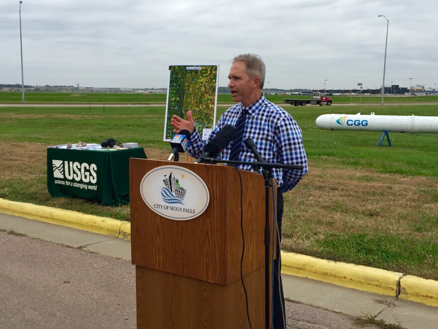
Sioux Falls leaders plan to get a detailed view of water underground using technology attached to a helicopter. The city’s public works department is contracting with the US Geological Survey and a company called CGG Canada Services. Mapping the aquifer requires a system called RESOLVE and days in the sky.
They call it a bird. The RESOLVE helicopter-borne geophysical system is a long, white cylinder sensor. It has a red drag skirt on one end that keeps it flying straight: think the feathers on an arrow.
A helicopter flies 200 feet above the ground and tows the sensor 100 feet below.

Mark Anderson with the USGS says the system sends electromagnetic waves into the ground, revealing water that lies beneath in the Big Sioux Aquifer.
“What we get is a map of the aquifer. We can know what its width is, what its thickness is, what the zones are where the water can move through it more easily – called permeability, where the water can move,” Anderson says. “All of those things are really helpful to us to then build a groundwater model.”
Anderson says the mapping lets scientists run scenarios to make sure a proposed well can provide a sustainable water supply.
The project is costing the City of Sioux Falls $600,000. Leaders could choose to drill test wells instead, but they’d be guessing – and each test well runs between $70,000 and $80,000.
Public Works director Mark Cotter says the current capital plan includes $6 million for the next two wells, so mapping the aquifer is within budget and worth the money.

“We’ve got additional water rights in the Big Sioux River Aquifer. It’s good water. It’s close water to us, so this is really our next source to further develop. So do we need the water tomorrow? No, but we ultimately need to start taking steps, start developing our next wells, and then ultimately that well line that comes into the city so we’re positioned for really that next generation.”
Some areas are off-limits, so CGG’s sensor must avoid those when mapping the area north of Sioux Falls. Contractors begin this week surveying for any potential obstacles, including power lines or towers. Then crews use the sensor for three to five days to collect data on the Big Sioux Aquifer.

